Challenge
High-risk driving scenes for autonomous driving occur infrequently, creating a shortage of the data needed for training.
Learn more about Challenge 日本語版
日本語版Case study / Jul 24, 2025
High-risk driving scenes for autonomous driving occur infrequently, creating a shortage of the data needed for training. Detecting and explaining risk factors was also difficult, which stood in the way of improving safety.

High-risk driving scenes for autonomous driving occur infrequently, creating a shortage of the data needed for training.
Learn more about ChallengeGIS (geographic information system) data is used to identify risk areas, and an LLM automatically generates captions explaining traffic risk from the corresponding street images.
Learn more about ApproachAutomatic generation of risk explanations improved both safety and explainability.
Learn more about OutcomesHigh-risk driving scenes for autonomous driving occur infrequently, creating a shortage of the data needed for training.
Detecting and explaining risk factors was also difficult, which stood in the way of improving safety.
GIS (geographic information system) data is used to identify risk areas, and an LLM automatically generates captions explaining traffic risk from the corresponding street images.
Built a mechanism that enables both training on and visualization of high-risk driving scenes.
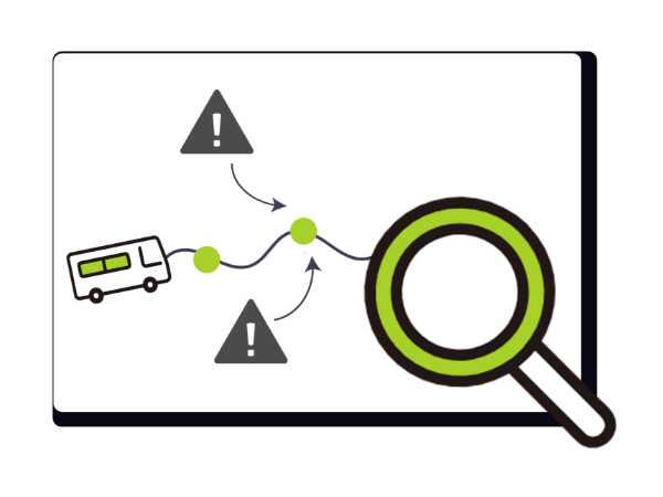
Automatic generation of risk explanations improved both safety and explainability.
Expected to be used as a foundational technology supporting decision-making in autonomous driving.